This drone could be the key to learning more about our oceans

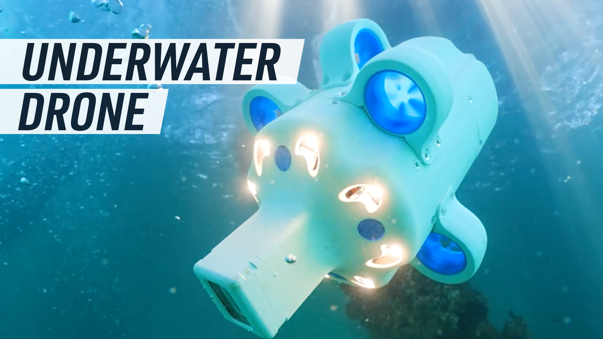
With 71% of the Earth covered in water, we still know less about the ocean floor than the surface of Mars. Hydrus aims to be the solution. Hydrus is a fully autonomous underwater drone that makes underwater data capture more detailed and accessible. Developed by Advanced Navigation, this compact drone uses intuitive software to build underwater 3D maps of oceanic sites and inspect marine life and structures. An AI navigation system and a 4k camera allows Hydrus to explore the unknown. Hydrus surveyed one shipwreck, just off the coast of Perth that was located 60m below sea level. According to the Western Australian Museum it was the most complete and comprehensive survey of the shipwreck to date.

